

Indoor Wayfinder Software: How It Works and Who It's For
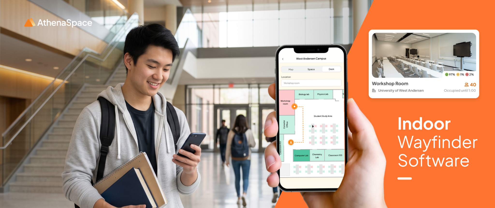
Indoor Wayfinder software is a digital system that shows people the way to a destination inside a building, using maps, directions and positioning technology that works where GPS does not. It replaces static signs and "just ask reception" with turn-by-turn guidance on kiosks, digital signage and mobile devices.
GPS is built for open skies. Indoors, walls, floors and concrete weaken the signal until it is useless. Indoor Wayfinder software solves that gap, and it is now standard in hospitals, campuses, retail centres and corporate offices where visitors are routinely lost.
This guide explains how indoor wayfinding works in plain terms, which positioning technologies sit behind it, how to choose between them, and who gets the most value from it. If you are weighing options for your own site, the AthenaSpace wayfinding module is a good place to see how it looks in practice.
Wayfinding, indoor navigation and indoor positioning: what is the difference?
The three terms are often used interchangeably, but they describe different layers.
- Indoor wayfinding is the whole experience of helping someone reach a destination inside a building: the map, the search, the route and the signage that shows it.
- Indoor navigation usually means the turn-by-turn route itself, often on a phone.
- Indoor positioning is only the technology that works out where someone is, such as BLE beacons or QR codes.
In short, positioning is one ingredient, navigation is the route, and wayfinding is the complete service built around both.
How does indoor wayfinding software work?
Every indoor wayfinding system does three jobs, whatever technology it uses.
- It holds a digital map of the building. Floor plans are turned into a navigable map, with rooms, corridors, lifts, stairs and entrances. Each destination, such as a ward, lecture theatre, meeting room or shop, is tagged so people can search for it by name.
- It works out where the person is. This is the hard part indoors, and it is where positioning technology comes in (see below).
- It calculates and displays the route. Once the system knows the starting point and destination, it identifies the best path and presents it as a highlighted line, step-by-step directions, or both. Many systems can also provide accessible, step-free routes when needed.
.png)
That is the whole idea. The differences between products come down to how they answer the second question: where am I?
The positioning technology behind it
Because GPS is unreliable indoors, wayfinding relies on other ways of fixing a location. These are the three you will hear about most.
Fixed kiosk or screen location
The simplest method needs no positioning at all. Install a wayfinding kiosk or digital signage screen in a known spot, such as a main entrance. The software already knows "you are here", so it only needs to calculate the route from that point. This is reliable, easy to maintain and works for most visitor journeys.
QR codes
A QR code placed at a known location tells the system exactly where someone is standing. The visitor scans it with their phone, and the route opens on their own screen. It requires no app download or special hardware, making it a low-cost way to carry guidance from a kiosk to a personal device.
Bluetooth Low Energy (BLE) beacons
BLE beacons are small transmitters fixed around a building. A phone detects their signals and estimates its position from signal strength, which allows a moving blue dot on the map. It offers continuous guidance, but it needs hardware installed, calibrated and maintained, so it suits larger or more complex sites where live positioning justifies the effort.
Other approaches, such as Wi-Fi positioning, exist too. In practice, many organisations start with fixed screens and QR codes, then add live positioning only where it earns its place.
The three methods compared
Which approach fits your building?
There is no single best method. The right starting point depends on the size and shape of the site.
- Single-floor clinic, office or small venue: a fixed kiosk or screen at the entrance is usually enough. Add QR codes if visitors want the route on their phone.
- Multi-floor hospital, school or office tower: combine kiosks at entrances and lift lobbies with QR codes at decision points such as junctions and floor landings.
- Large campus or multi-building site: kiosks and QR codes cover most journeys. Consider live BLE positioning only for the areas where people genuinely lose their way.
- Busy shopping centre: screens at entrances and atriums handle the high volume, with QR codes carrying directions to shoppers' phones.
A useful rule: start with the simplest method that answers "where am I?" and add precision only where the data shows people still get lost.
A worked example: kiosks at the entrance, QR codes at the junctions
Consider a multi-floor hospital with a main entrance, several lift cores, and separate outpatient, ward and diagnostic areas. This is an illustrative scenario rather than a customer case, but the reasoning applies to many large sites.
Visitors face two different problems. At the entrance they must decide where to go: which building, which floor, which department. Later, at lift lobbies and corridor junctions, they only need confirmation of the next turn. One technology rarely suits both moments.
Why kiosks at the entrance
- Arrival is when people are least certain, and many will walk up to the nearest screen rather than reach for a phone. A kiosk needs no phone, signal or app, which matters for older patients and anyone in a hurry.
- A kiosk never moves, so the starting point is exact.
- A hospital has few entrances, so a handful of screens is manageable to install and maintain.
Why QR codes at the junctions
- A screen at every junction is expensive, needs power and network points, and clutters corridors. A printed code costs very little by comparison.
- Each code marks an exact location, so someone who is already lost can scan it and get a route from where they stand, rather than walking back to the entrance.
- In most setups the code identifies its location while the route is calculated from the map. When a department moves, the map changes and the codes usually stay where they are.
The principle carries well beyond hospitals: use fixed screens where people arrive, and QR codes where people hesitate.
What a sample implementation looks like
Whatever the vendor, most deployments are built from the same four parts. The diagram below shows how they fit together.
.png)
The map and destination data are prepared once and then maintained. The entry point differs by location, and the route is generated fresh each time someone asks. That is why ongoing maintenance centres on the first two parts.
Who is indoor Wayfinder software for?
Any building where people arrive unfamiliar with the layout benefits. The strongest cases are:
- Healthcare: Patients and visitors, often anxious and short of time, need to find clinics, wards and car parks without staff stopping to give directions.
- Education: Students, parents and guests need to find lecture theatres, labs and offices across large or multi-building campuses, particularly at the start of term.
- Retail and shopping centres: Shoppers find stores, facilities and promotions faster, and operators can place digital directories exactly where people pause.
- Corporate offices: Visitors, new joiners and hybrid staff can find meeting rooms and colleagues without hunting through a floor of unfamiliar desks.
In each case, the gain is the same: fewer wrong turns, fewer interruptions for front-of-house teams, and a calmer first impression.
Why small wayfinding failures point to bigger problems
A visitor standing in front of an outdated directory is rarely looking at a signage problem. More often, floor plans, room bookings and department lists live in separate systems run by different teams, and no single system owns the whole visitor experience. When one changes, the others lag behind.
Speaking to PEAK Singapore about failures such as a broken lobby screen, an outdated directory or a wrong room-booking status, AthenaSpace founder Tanish Dhillon said:
“They’re the surface expression of a much deeper fragmentation.”
Tanish Dhillon, founder of AthenaSpace, in PEAK Singapore, July 2026
Small details also change how people feel in a building. Out-of-date signage in a clinic, for example, can make a space feel less cared for and less safe. That is why keeping maps and directories current matters as much as the screens that display them, and why wayfinding works best when it draws on live booking and occupancy data instead of a static map. The testing and maintenance routine later in this guide is built around the same idea.
How AthenaSpace wayfinding works
AthenaSpace wayfinding takes the simple-first approach described above. It is built around the screens and devices a building already has, rather than new infrastructure.
- Interactive floor maps: touch-enabled floor plans across every floor and building, shown on lobby kiosks, corridor displays and standalone screens.
- No new hardware: it runs on existing screens, tablets and kiosks, so a site can start with the equipment it already owns.
- Phone navigation: employees and visitors can carry directions onto their own phone by scanning a QR code.
- Multi-building campuses: guidance for sites with several buildings and entrances, which suits hospitals, universities and corporate campuses.
- Live availability: floor plans reflect booking and occupancy data as it changes, rather than a static snapshot.
- Branded layouts: floor plans, colours, language and directory listings can be configured to match your organisation.
Built for how buildings work across Asia
Buildings in Southeast Asia often combine features that make wayfinding harder: multi-storey malls with several entrances, large hospitals spread across wings, and campuses with visitors who speak different languages.
- Multilingual guidance: look for software that lets you configure the language of floor plans and destination names to match your visitors, rather than English only.
- Built for the region: AthenaSpace supports multiple Asian languages and dialects, and is designed to be configured to local ways of working without heavy technical effort.
- High footfall: screens placed at entrances and lift lobbies take pressure off reception during peak hours.
- Mixed-use sites: a single tower may hold offices, retail and clinics, so destinations need clear categories and search.
Accessibility: wayfinding that works for everyone
Good wayfinding should help every visitor, including people who use wheelchairs, push prams, carry heavy loads or have a visual impairment. When comparing software, look for:
- Step-free routing that avoids stairs and steep ramps.
- Kiosks at a usable height, with clear contrast and large text options.
- Directions that can be read aloud or opened on a personal device with its own accessibility settings.
In healthcare and education especially, this is often a deciding factor rather than a nice extra.
Privacy and data protection
How a system finds someone's location affects what data it handles. Kiosk and QR-based wayfinding can work without identifying individuals, because the system only needs to know where the screen or code is. BLE positioning on personal phones can involve more personal data, so it needs clearer consent and handling.
A useful principle, and one AthenaSpace’s founder has described for space analytics, is to focus on the space rather than the individual: show how people move through a building, not who they are. Whichever platform you choose, ask the vendor three things: what data is collected, where it is stored, and whether visitors can use the service without sharing personal information. Healthcare and education sites in particular should expect clear answers.
What to look for in indoor wayfinding software
When comparing platforms, check these points:
- Does it work on the screens and kiosks you already have, or does it need new hardware?
- Can visitors carry the route onto their phone, for example via QR code?
- Does it support accessible, step-free routing?
- How easily can you update the map when rooms move or layouts change?
- Does it connect to the rest of your workplace tools, such as booking, signage and analytics, or sit on its own?
Wayfinding works better as part of a connected platform
Standalone wayfinding answers one question. Connected to the rest of your space, it answers several.
- Signage: routes can appear on digital signage software screens you already run, so directions sit alongside announcements and promotions.
- Analytics: workplace analytics can show which destinations people search for most, which reveals where signage or layouts are confusing.
- Space booking: people can find the room they have booked, even on a first visit, and the map shows whether spaces are free. See space booking.
That joined-up view is what turns wayfinding from a convenience into something that helps you run the building. AthenaSpace is designed to sit above the systems a building already runs rather than replace them.
Verify before you choose a platform
The checklist above tells you what to look for. These questions show how to confirm a vendor can actually deliver it. Ask for answers in writing or, better, see them working in a demo on your own floor plans.
- Display, tablet and kiosk support: ask for the exact list of supported screen sizes, orientations, touch and non-touch displays, tablets and kiosk operating systems, then check it against the hardware you already own. "Works on existing screens" can mean very different things.
- QR directions on a phone: scan a real QR code during the demo, on both an iPhone and an Android phone. Check that the route opens in the mobile browser without an app download or login, and that it loads quickly on an ordinary mobile connection.
- Floor plan and destination updates: ask who makes changes (your team or the vendor), how long a change takes to appear on screens, and whether renaming a room or adding a tenant needs a support ticket. Ask them to make one live change in the demo.
- Room availability: find out whether live availability comes from the platform's own booking tool or needs an integration with a separate booking system. If it does, ask what that costs, how long it takes and who maintains it. Do not assume availability is real time until it is confirmed.
- Accessibility and languages: ask to see step-free routing, text size and contrast options, and each supported language in the product itself, not on a features list. Check that destination names can be shown in each language, not just menu buttons.
- Implementation and maintenance: ask what setup involves (floor plan preparation, mapping destinations, testing), who does the work, the typical timeline, and what ongoing support looks like, including who owns map changes after launch.
A vendor confident in its product will welcome these questions. If an answer is vague, treat it as a no until it is shown otherwise.
A short implementation checklist
Testing routes and keeping floor plans accurate
The last two steps of the checklist, testing and ownership, decide whether a wayfinding system stays useful. Most failures happen after launch, when a department moves and the map does not.
Before launch: test like a first-time visitor
- List the 10 to 20 destinations people ask about most (reception will know) and test a route to each from every entry point, kiosk and QR code.
- Ask someone who has never been in the building to follow the directions without help, and note every point where they hesitate.
- Test step-free routes separately and walk them, checking doors, lifts and ramps against what the map says.
- Try the kiosk and several phones, on a normal mobile connection, in the corridors where the codes will be placed.
- Check that destination names match what people say and what the signs say, not internal room codes.
After launch: treat every move as a change request
- Name an owner and a deputy for the map, so changes do not wait on one person's leave.
- Make facilities, estates or IT notify the owner whenever a room is renamed, a department moves, a corridor closes or building work starts. Add "update the map" to the move and renovation checklist so it happens as part of the project, not after complaints.
- Retest after each change. Check the routes that touch the affected area, and keep a short change log with the date, the change and who checked it.
- Walk your top routes on a schedule, monthly for busy sites, and confirm QR codes are still in place, undamaged and linked to the right location.
- Compare the destination list with the facilities register every quarter, to catch rooms that were renamed or retired without the map owner hearing about it.
- Give front-of-house staff an easy way to report problems. The front desk hears first when a visitor could not find something.
A map that is accurate on launch day but out of date by the end of the quarter loses visitors' trust quickly, so build the update routine before you go live.
Frequently asked questions
What is indoor wayfinder software?
Indoor Wayfinder software is a digital system that guides people to destinations inside a building using interactive maps and routing, in places where GPS does not work reliably.
Does indoor wayfinding need GPS?
No. Indoor wayfinding is designed for GPS-denied environments. It uses a known kiosk location, QR codes, BLE beacons or Wi-Fi positioning instead.
Do visitors need to download an app?
Not necessarily. Kiosk- and signage-based wayfinding needs no download, and QR codes open the route in a mobile browser.
Is indoor wayfinding only for large buildings?
It helps most in large or complex sites, but any building where visitors regularly ask for directions can benefit.
How is indoor wayfinding different from a floor directory?
A static directory lists where things are. Wayfinding software calculates and displays a route from the visitor's current location and can be updated instantly as layouts change.
What is the difference between indoor wayfinding and indoor positioning?
Indoor positioning is the technology that works out where someone is. Indoor wayfinding is the complete service built on it, including the map, search and route.
Does indoor wayfinding raise privacy concerns?
It depends on the method. Kiosk and QR-based wayfinding can work without identifying individuals, while BLE positioning on personal phones needs clearer consent and data handling.
Does indoor wayfinding need new hardware?
Not always. Many platforms, including AthenaSpace wayfinding, run on the screens, tablets and kiosks you already have, with directions carried to phones by QR code.
See wayfinding in action
If your visitors, patients, students or staff spend time hunting for the right room, the fix is usually simpler than it looks. Explore AthenaSpace wayfinding, take a self-guided product tour, or book a demo and we will show you how it works on your own floor plans.
See what your spaces are capable of.
Your building is already telling you what's wrong.
AthenaSpace gives you the intelligence layer to hear it — and act on it.