

Best Digital Wayfinding Software for Large Campuses & Multi-Building Facilities
.webp)
What are the best digital wayfinding platforms for large campuses?
The best digital wayfinding platforms for large campuses support routing across multiple buildings and floors, keep directions current as spaces change, and work on existing kiosks, screens and mobile devices. AthenaSpace Wayfinding, Mappedin, Concept3D, MazeMap, MapsIndoors and Pointr are strong options to shortlist. Choose AthenaSpace if you want wayfinding connected to booking, signage and analytics; Mappedin for dedicated indoor mapping; Concept3D for visually rich campus engagement; MazeMap for central map administration; MapsIndoors for developer-led implementations; and Pointr for indoor-outdoor positioning.
Why is campus wayfinding so hard to get right?
A single-building directory is a solved problem. A campus is not. Add a second building, a car park, three entrances, a lift that is always ‘temporarily’ out of service and a visitor who has never been there, and the printed map on the wall stops being a map and becomes decoration.
Large campuses and multi-building facilities face the same challenges across industries. Universities, hospitals, corporate headquarters, retail destinations and public venues must guide people to the right place without relying on staff to escort them. As layouts change, rooms are rebooked, and wings are refurbished, maps must be updated quickly, or people will stop trusting them.
That is the lens for this list: how well each platform supports multi-building, multi-floor environments where maps need to stay useful after rooms move, routes change, and visitors arrive without context.
What should you look for in digital wayfinding software?
We assessed each platform against the same practical criteria: multi-building routing, live data, deployment options, map administration, accessibility, customisation and integrations. The shortlist is intended to help buyers compare different approaches rather than provide a universal ranking.
To keep the comparison fair, we focused on publicly visible product capabilities and practical fit for large, multi-building environments. Vendor capabilities can change, so the best shortlist is the one that matches your site complexity, deployment channels, integration needs and internal maintenance capacity.
These are the criteria that separate a good campus wayfinding platform from a pretty floor plan.
• Multi-building and multi-floor routing. Directions should work from the car park to a specific room on the fourth floor of another building, not just within one lobby.
• Live data. A map that shows a room as free when it has been booked for an hour is worse than no map.
• Deployment flexibility. Look for support across lobby kiosks, corridor displays, mobile devices and the web, ideally without new hardware.
• Easy map management. Someone in facilities, not a developer, should be able to update a floor plan when a wing is reconfigured.
• Accessibility. Step-free routes and clear, readable interfaces matter on any campus, and they are essential in healthcare and education.
• Branding and language options. Campuses serve mixed audiences, so layouts and languages should be configurable.
• Integrations. Wayfinding works hardest when it connects to booking, occupancy and signage rather than sitting on its own.
The 6 best digital wayfinding platforms for large campuses
1. AthenaSpace Wayfinding: best for connected space management
Best for: organisations that want wayfinding as part of one connected space management platform.
Full disclosure: AthenaSpace is our own product, so we have placed it first and will be clear about where it fits best. AthenaSpace Wayfinding is built for campuses and complex sites where people need to get to the right space, on the right floor, in the right building.
What sets it apart is that the map is not a standalone layer. When connected to booking and occupancy data, floor plans can reflect current space information, so users can navigate to rooms that are available instead of following a static directory. It pairs naturally with AthenaSpace space booking and AthenaAnalytics, so the same platform that guides people can also show how routes and spaces are used.
Key capabilities:
• Interactive, touch-enabled floor maps that update in real time
• Multi-building campus navigation across multiple entrances
• Touchscreen kiosk support on lobby kiosks, corridor displays, and standalone screens, with no new hardware required
• Mobile navigation for employees and visitors, including access by QR code
• Branded, configurable layouts, including language and directory listings
• Integrations with the tech stack you already run
It is industry-agnostic, so the same platform serves corporate campuses, universities, hospitals, and retail. Pricing is handled through our channel partners, so the route in is a conversation rather than a sign-up form.
Consider it if: you want wayfinding, booking, digital signage and analytics working from one source of truth instead of four separate tools.
2. Mappedin: best for dedicated indoor mapping
Best for: complex venues that want a dedicated indoor mapping and wayfinding platform.
Mappedin is a well-established indoor mapping and digital wayfinding platform aimed at complex, multi-building venues, including colleges and universities, malls, hospitals, and corporate buildings. It is known for polished, immersive interactive maps and multi-floor routing. A common appeal is that a single map data source can serve several teams, for example, web, facilities and safety applications.
Consider it if: mapping quality is your top priority, and you are comfortable running it alongside your other workplace tools.
3. Concept3D: best for higher education and engagement
Best for: higher education and destinations that want wayfinding to double as an engagement tool.
Concept3D focuses on interactive 3D and 360-degree campus maps, with wayfinding and accessibility routing. Universities, hospitals, and convention centres are typical customers. It supports CAD floor plan ingestion and a map publishing workflow, and higher tiers offer SDK and API access for embedding maps in your own apps. If your campus map also needs to work as a recruitment or visitor engagement tool, the visual experience is a genuine strength.
Consider it if: you want a showpiece campus map, and a single-building kiosk would be more than you need.
4. MazeMap: best for central map administration
Best for: large, complex buildings where central map administration matters.
MazeMap provides indoor mapping and wayfinding for campuses, hospitals and corporate spaces, with mobile apps and kiosk deployment for visitor navigation. Its central administration keeps maps, routes, and location settings consistent across multi-building environments, and it supports searchable points of interest, floor-aware routing, and accessible paths.
Consider it if: you manage a large portfolio of buildings and want consistent maps published everywhere from one place.
5. MapsIndoors: best for teams with in-house developers
Best for: teams with in-house developers who want to build a bespoke navigation experience.
MapsIndoors is designed to be embedded into existing university apps or portals, with multi-building campus mapping and customisable routing. It suits institutions with a technical team that wants to build a custom experience on top of a robust data platform, rather than adopt a finished product as it comes.
Consider it if: you have developer capacity and a specific app experience in mind.
6. Pointr: best for indoor-outdoor navigation
Best for: organisations that need indoor positioning and indoor-outdoor navigation in the same experience.
Pointr supports multi-floor experiences and handoff between indoor and outdoor navigation, which is useful when a visitor's journey starts in a car park or on a street and ends in a specific room. Positioning-led approaches can mean more infrastructure and setup than a screen-and-mobile deployment, so it is worth scoping carefully.
Consider it if: turn-by-turn positioning on a phone is central to your use case.
Digital wayfinding software comparison
How do you choose the right wayfinding platform for your campus?
Start with one question: do you want a platform or a toolkit?
If you want wayfinding connected to how spaces are booked, occupied and communicated, choose a platform where those capabilities already share data. That is where a suite such as AthenaSpace can add value: the map, bookings, digital signage and analytics work from one source of truth.
If you have developers and a distinctive app in mind, a mapping toolkit gives you more room to build.
Before requesting demos, document the journeys the platform must support, the buildings and floors in scope, the systems it needs to integrate with, accessibility requirements, preferred deployment channels and who will maintain the maps. Ask each vendor to demonstrate the same representative route so that you can compare usability and administration consistently.
Whichever way you lean, run a pilot on your most confusing building first. The place where visitors currently ask reception for directions three times a day is the best place to prove whether the platform reduces friction in the real world.
Digital wayfinding software: frequently asked questions
What is digital wayfinding software?
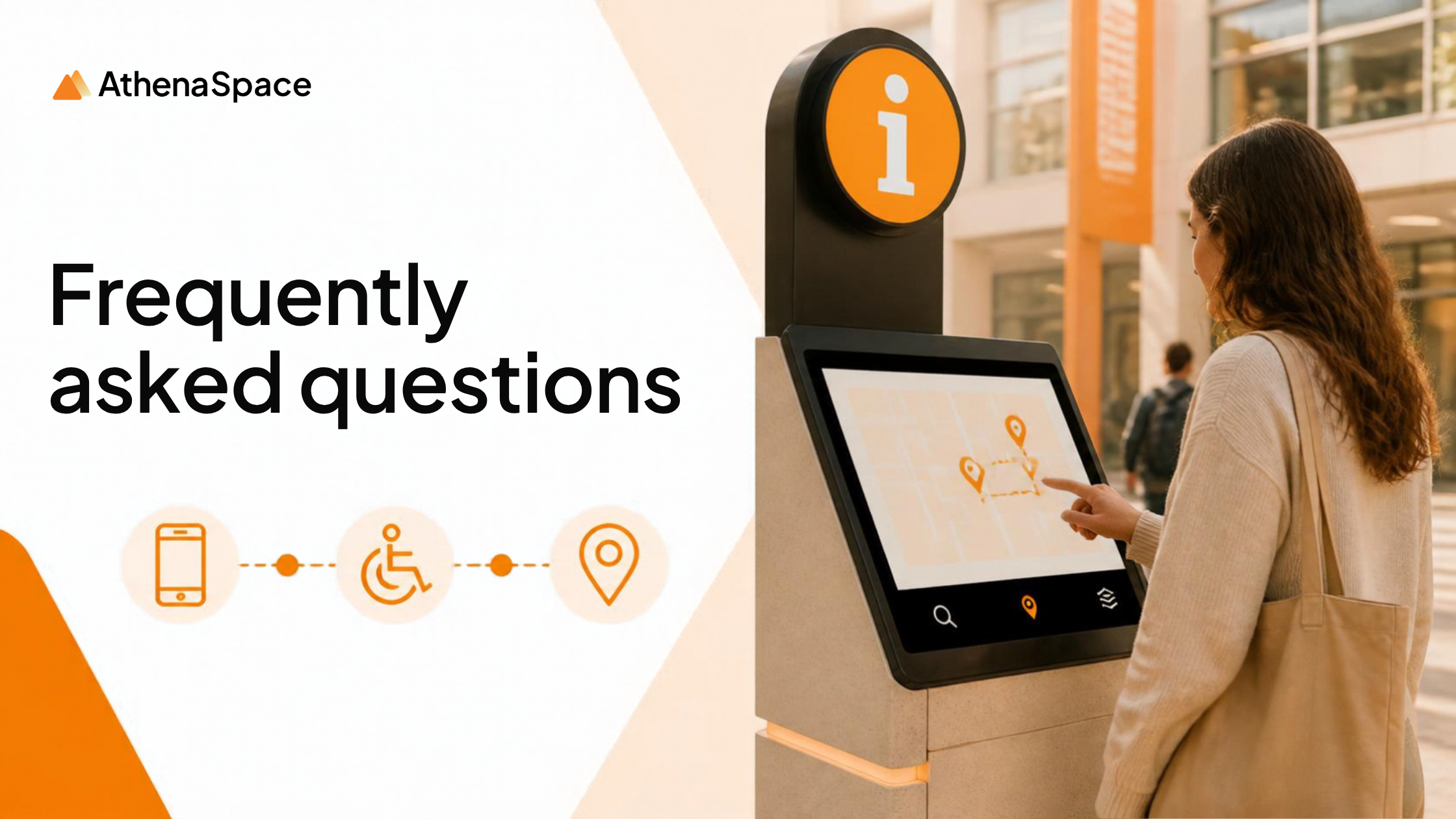
Digital wayfinding software helps people find their way around indoor and outdoor spaces using interactive maps, directories and directions on kiosks, screens, and mobile devices. On a large campus, it covers multiple buildings, floors, and entrances.
Do I need new hardware to use digital wayfinding software?
Not necessarily. AthenaSpace Wayfinding deploys screens, tablets and kiosks you already have, and is also available on mobile with no hardware requirement.
Can wayfinding maps update in real time?
Yes, where the platform is connected to booking and occupancy data. In AthenaSpace, live booking and occupancy data feed the floor map, so people are directed to spaces that are free.
Can I customise wayfinding maps to match our brand?
With AthenaSpace, yes. Floor plan layouts, colours, language and directory listings are all configurable.
How much does digital wayfinding software cost?
Pricing varies by vendor, site size, and deployment. AthenaSpace is sold through channel partners, so pricing is scoped to your campus through a demo.
Should I choose a wayfinding platform or a mapping toolkit?
Choose a platform if you want a ready-to-deploy experience connected to booking, signage, and analytics. Choose a toolkit if you have developers and want to build a bespoke navigation experience.
See AthenaSpace Wayfinding on your campus.
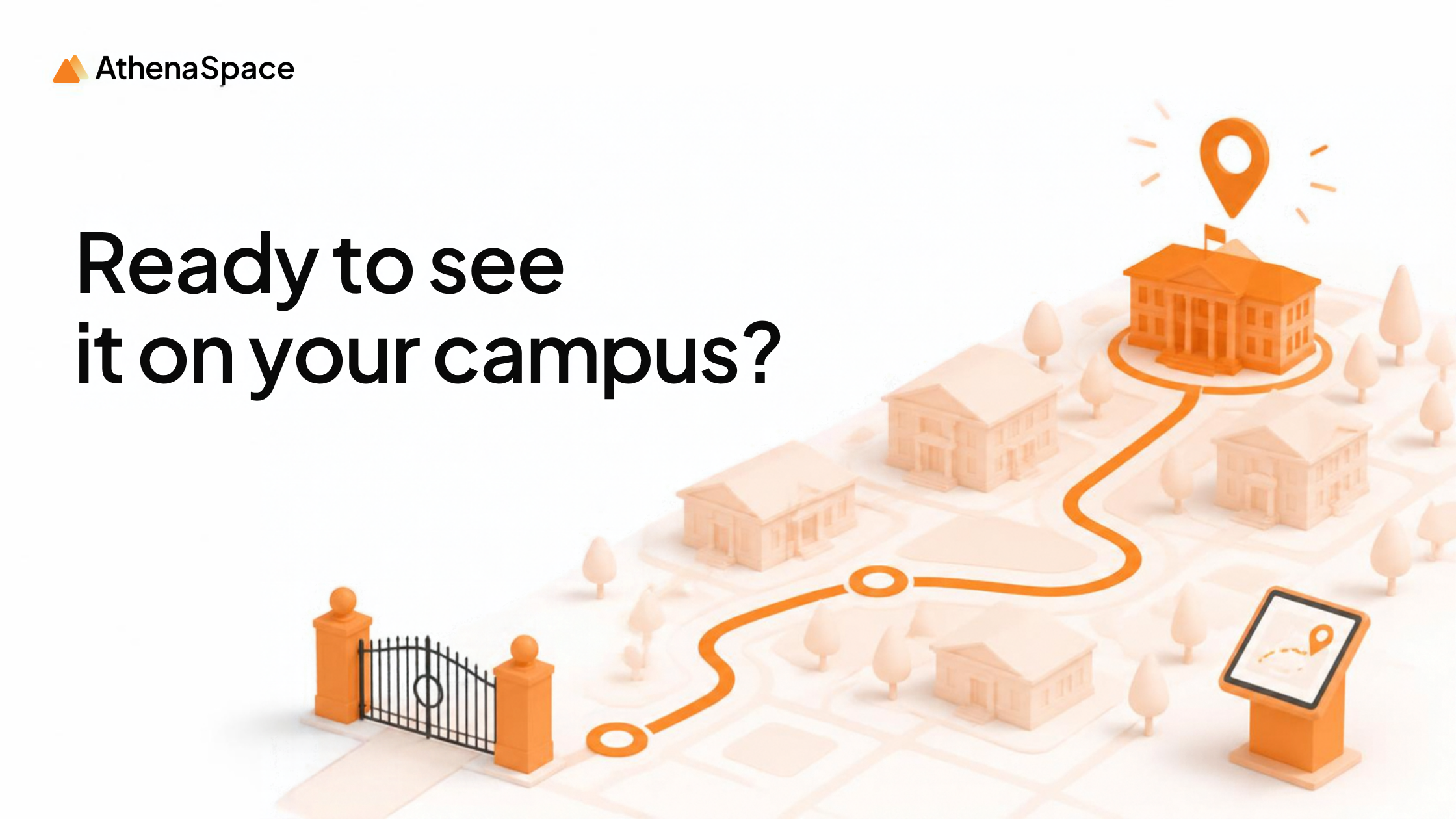
For a useful demo, bring one representative journey, one current floor plan, a list of systems the map must connect to, and any accessibility or language requirements. The more specific you are about the route, the easier it is to see whether the platform works for your campus in practice.
Wayfinding works best when it is connected to the rest of your space data. See how AthenaSpace Wayfinding supports navigation across multiple buildings, floors and entrances, then book a demo, and we will walk through a representative route using your own campus layout.
Book a demo | Talk to our expert
See what your spaces are capable of.
Your building is already telling you what's wrong.
AthenaSpace gives you the intelligence layer to hear it — and act on it.